




Intro
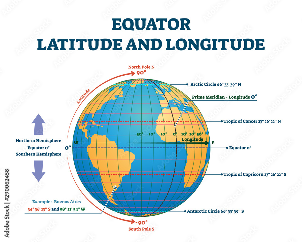
The World Geodetic System (WGS 84) is a standard used in cartography, Geodesy, and satellite navigation, including GPS and other GNSS. WGS 84 defines a reference ellipsoid and a reference frame that allow positions can be represented unambiguously using either geodetic coordinates (latitude, longitude, and ellipsoidal height) or Cartesian ECEF coordinates (X, Y, Z).
                WGS 84
                    │
        Global geodetic reference
                    │
            ┌─────────┴─────────┐
            ↓                   ↓
    Geodetic              ECEF
Lat / Lon / Height       X / Y / Z
            │                   │
            │                   └── Cartesian math
            │                       3D geometry
            │                       Transformations
            │
            └── Geographic
                position
                Maps
                GPS